Satellite-Derived Bathymetry
Advanced Features Detection
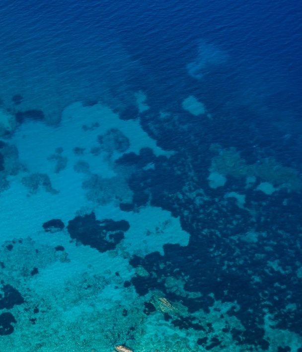
Hartis’ Satellite-Derived Bathymetry (SDB) solutions offer a cutting-edge approach to mapping shallow water depths and detecting underwater features. Using high-resolution satellite imagery and advanced algorithms, we provide cost-effective and accurate bathymetric data for a wide range of applications.

Advanced Features Detection
Identification of underwater structures, sandbanks, and coral reefs with unparalleled precision.
Rapid Deployment
Faster and more scalable than traditional hydrographic surveys.
Cost-Effective Solutions
Reducing the need for extensive on-site surveys while maintaining high accuracy.
Environmental Insight
Supporting marine conservation efforts by mapping sensitive ecosystems.
Broad Applications
Ideal for navigation, coastal zone management, marine spatial planning, and disaster response.
With Hartis’ SDB capabilities, you can explore and manage marine environments with confidence, harnessing the power of satellite technology for smarter decisions.
