Marine Spatial Planning

Shaping sustainable seas for thriving ecosystems and economies.

Marine Spatial Planning

S
m
a
r
t
&
A
d
a
p
t
i
v
e
S
o
l
u
t
i
o
n
s

At Hartis, we enable effective Marine Spatial Planning (MSP) by providing access to authoritative geospatial data, expert analysis, and strategic modelling. Our aim is to facilitate the creation of sustainable marine spatial plans, integrating sectoral activities and ecological considerations for a resilient future.

D
a
t
a
C
o
l
l
e
c
t
i
o
n
a
n
d
A
n
a
l
y
s
i
s

We collect, curate, and deliver comprehensive spatial datasets essential for informed marine planning.


We map activities such as aquaculture, offshore wind energy, hydrocarbons extraction, fisheries, shipping, cables and pipelines, ports, and marinas.

Our datasets cover habitats, fish stocks, marine mammals, and seabird populations, enabling ecosystem-based planning.

We provide detailed coastal bathymetry and derived topographic attributes (slope, ruggedness, aspect) to support habitat mapping and site assessment.

We evaluate data sources for accuracy, consistency, and uncertainty, ensuring decision-making is based on reliable, high-confidence information.

M
a
p
p
i
n
g
a
n
d
V
i
s
u
a
l
i
z
a
t
i
o
n

Our services combine cutting-edge geostatistics and GIS technologies to visualize marine environments and activities.

Detailed Marine Use Maps

We produce high-resolution maps illustrating sea uses, natural habitats, and ecosystem components.

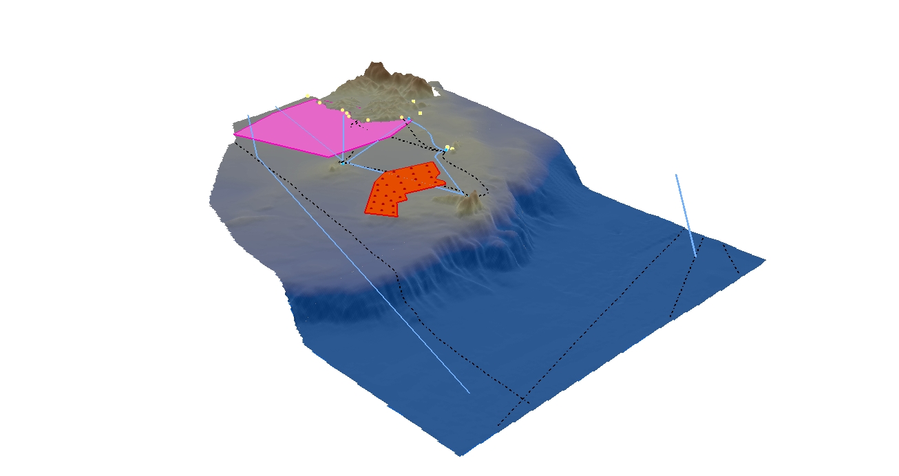
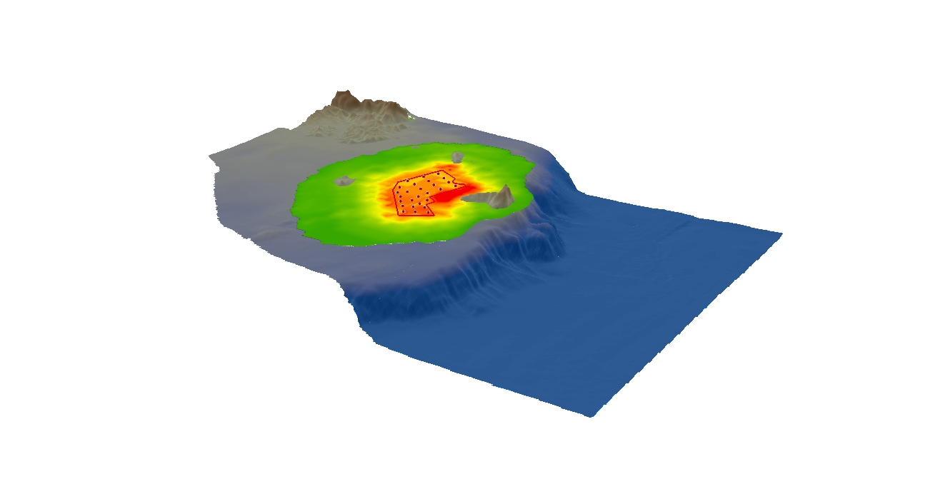
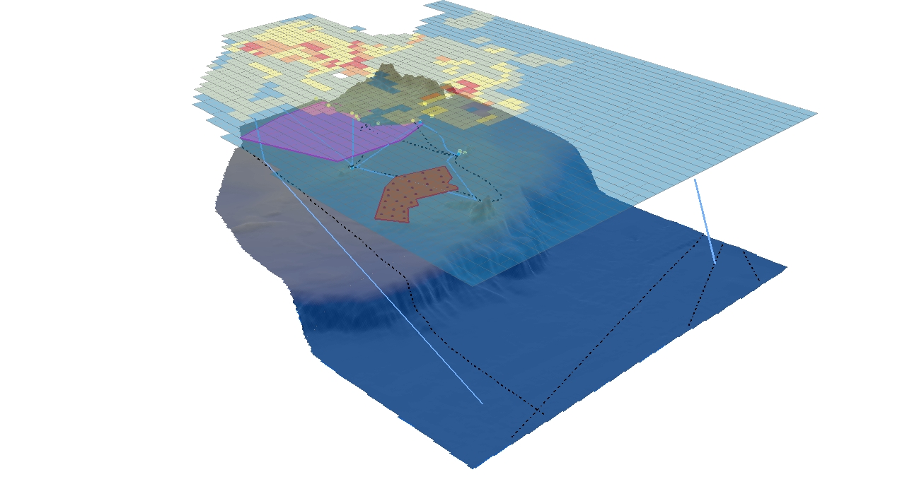
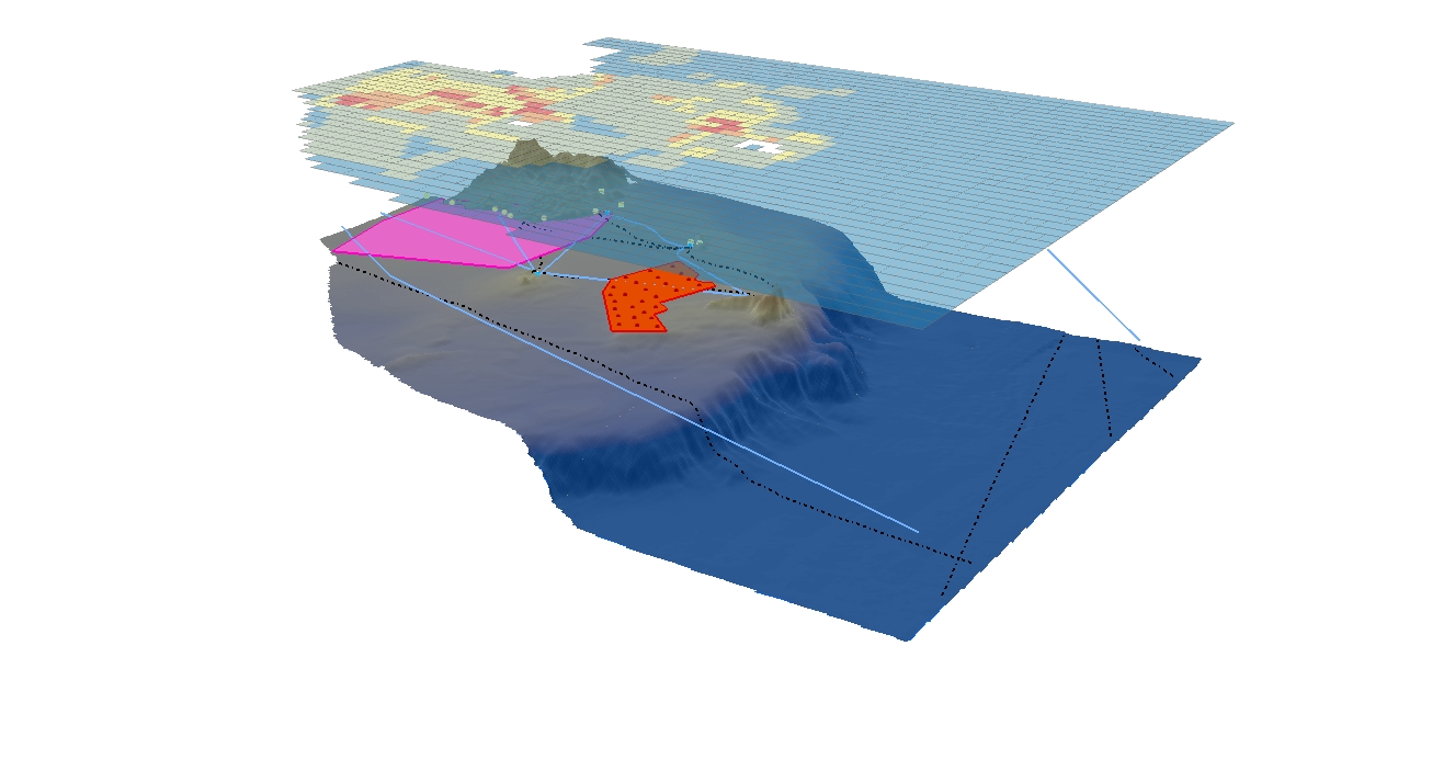
Participatory GIS (P-GIS)

We engage local stakeholders through participatory mapping, integrating scientific data with traditional and community knowledge for richer insights.

Interactive Spatial Analysis

Our mapping tools allow users to explore spatial distributions, identify critical zones, and assess interactions between sectors.

A
s
s
e
s
s
m
e
n
t
o
f
C
u
r
r
e
n
t
C
o
n
d
i
t
i
o
n
s

Understanding the baseline conditions is key to effective planning

Baseline Scenario Analysis

We assess existing marine uses, environmental status, and socio-economic conditions to establish reference scenarios.

Synergies and Conflicts Identification

  • Synergies: Opportunities where activities can co-exist beneficially (e.g., offshore wind farms and aquaculture).
  • Conflicts: Potential clashes where activities compete for space and resources (e.g., shipping lanes crossing fishing areas).

Spatial Decision Support

Our analyses inform zoning, management strategies, and the prioritization of sustainable uses.
HARTIS Hydrospatial Standards

E
n
v
i
r
o
n
m
e
n
t
a
l
a
n
d
C
u
m
u
l
a
t
i
v
e
I
m
p
a
c
t
A
s
s
e
s
s
m
e
n
t
s

We conduct environmental evaluations critical to sustainable marine development
Cumulative Impact Assessment (CIA)
We model the combined effects of multiple human activities on marine and coastal ecosystems.
Environmental Impact Assessment (EIA)
We evaluate project-specific impacts, identifying mitigation measures and monitoring needs.
Stakeholder-Driven Modelling
We involve expert groups to co-design assessments, ensuring that local knowledge and scientific expertise are equally considered.
Sensitivity Mapping
We identify ecologically sensitive and high-risk areas to guide spatial management and protection efforts.

S
c
e
n
a
r
i
o
D
e
v
e
l
o
p
m
e
n
t
a
n
d
S
p
a
t
i
a
l
-
T
e
m
p
o
r
a
l
A
n
a
l
y
s
i
s

Planning for the future requires modelling multiple possibilities

Alternative Management Scenarios
We develop and evaluate different MSP scenarios based on user needs, ecological priorities, and spatial-temporal dynamics.
Predictive Modelling
Our tools forecast outcomes under different development pathways, supporting adaptive decision-making.
Climate Change Integration
We incorporate projections of sea-level rise, habitat shifts, and climate impacts to future-proof marine plans.
Resilience Planning
Strategies are designed to enhance ecosystem resilience and ensure sustainable use across changing conditions.
Electronic Navigational Charts (ENCs)

R
e
a
d
y
t
o
C
h
a
r
t
t
h
e
F
u
t
u
r
e
?

We support governments, communities, and industries in developing data-driven, sustainable marine spatial plans tailored to their needs. Contact us today to explore how we can help you unlock the full potential of your marine and coastal spaces.

Marine Spatial Planning

S
m
a
r
t
&
A
d
a
p
t
i
v
e
S
o
l
u
t
i
o
n
s

Hartis delivers Smart & Adaptive Marine Spatial Planning solutions designed to balance environmental protection with socio-economic development. By leveraging advanced technologies and stakeholder collaboration, we provide data-driven frameworks that guide the effective use and conservation of marine spaces.

HARTIS Marine Spatial Planning
Dynamic Planning Tools
Integrating real-time data and predictive analytics for responsive decision-making.
Ecosystem-Based Approach
Prioritizing biodiversity and sustainable resource management.
Stakeholder-Centered Design
Ensuring inclusive solutions that reflect the needs of governments, industries, and local communities.
Regulatory Compliance
Aligning with global standards and policies like EU MSP Directive and UN SDGs.

Hartis’ Smart & Adaptive Marine Spatial Planning transforms complex challenges into actionable strategies, ensuring a harmonious coexistence of marine ecosystems and human activities.