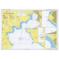
North Aegean Sea General Pilot Nautical Chart
Pilot Charts are nautical charts allowing the vessel to navigate accurately and safely in the Greek waters and they contain, in addition, piloting information that is placed on the area where it is most relevant, such as local names, practical weather forecast, tourist and other information that is suitable for yachts at sea.
The back side contains approaches-type (analytical) charts and port plans, together with their local info and photos to assist the reconnaissance of the area.
In addition, Pilot Charts are laminated so that they can withstand against water, salt, wear-and-tear and they too are sold within a plastic wallet.
Pilot Charts have a 4 - 5 year life cycle.
Edition: 2019
Scale: 1:518.000
ISBN: 960-88464-4-7
Dimensions open: 40 x 28 in (100 x 70 cm)
Dimensions folded: 10 x 13 in (25 x 34 cm)
Quantity Discount Policy:
Buy 2 or more of any item, get 2% more discount
Buy 5 or more of any item, get 5% more discount
Buy 10 or more of any item, get 10% more discount
Customers who bought this product also purchased
North Aegean Sea Nautical Chart
29.9500 34.95€
Athos Pen. to Alexandroupolis P. Nautical Chart
29.9500 34.95€
Thermaikos Gulf - Thessaloniki Port Nautical Chart
29.9500 34.95€
Bay and Port of Thessaloniki Nautical Chart
29.9500 34.95€


